
Çukurbelen topographic map
Interactive map
Click on the map to display elevation.
About this map
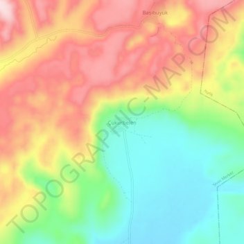
Name: Çukurbelen topographic map, elevation, terrain.
Location: Çukurbelen, Hafik, Sivas, Central Anatolia Region, Turkey (39.82889 37.15956 39.86889 37.19956)
Average elevation: 1,437 m
Minimum elevation: 1,287 m
Maximum elevation: 1,598 m