
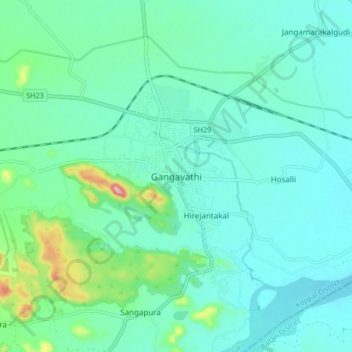
Gangavathi topographic map
Interactive map
Click on the map to display elevation.
About this map
Name: Gangavathi topographic map, elevation, terrain.
Average elevation: 421 m
Minimum elevation: 384 m
Maximum elevation: 588 m
Gangavathi lies at an average elevation of 406 metres (1,332 ft), and is situated close to the Tungabhadra Dam. It is a taluka (administrative division) of Koppal, a district that was previously part of Raichur and recently Gangavathi taluk bifurcated into kanakagiri and karatagi, those are new taluks in koppal district.