
Ngari topographic map
Interactive map
Click on the map to display elevation.
About this map
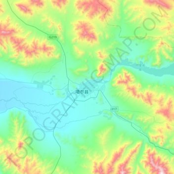
Name: Ngari topographic map, elevation, terrain.
Location: Ngari, Shiquanhe, Gar County, Ngari Prefecture, Tibet, China (31.50243 79.10561 33.50243 81.10561)
Average elevation: 4,918 m
Minimum elevation: 3,518 m
Maximum elevation: 6,644 m