
Kirkcudbright topographic map
Interactive map
Click on the map to display elevation.
About this map
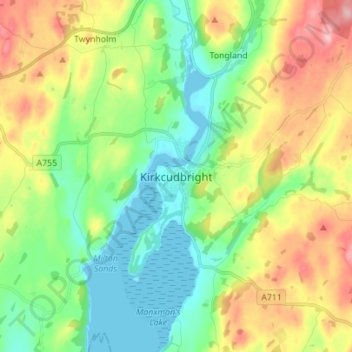
Name: Kirkcudbright topographic map, elevation, terrain.
Average elevation: 61 m
Minimum elevation: 0 m
Maximum elevation: 167 m
Dumfries and Galloway trails, hiking, mountain biking, running and outdoor activities
Other topographic maps
Click on a map to view its topography, its elevation and its terrain.
Garden of Cosmic Speculation
United Kingdom > Scotland > Dumfries and Galloway
Average elevation: 31 m
Lochmaben Castle
United Kingdom > Scotland > Dumfries and Galloway > Lochmaben
Average elevation: 48 m