
Onagawa topographic map
Interactive map
Click on the map to display elevation.
About this map
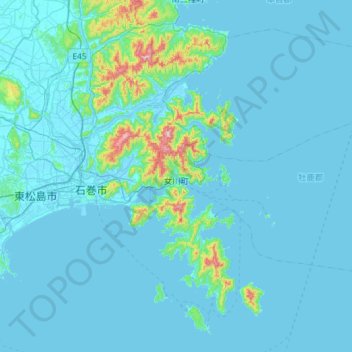
Name: Onagawa topographic map, elevation, terrain.
Location: Onagawa, Oshika County, Miyagi Prefecture, Japan (38.31243 141.39971 38.58784 141.97997)
Average elevation: 31 m
Minimum elevation: -3 m
Maximum elevation: 506 m