Geolocate

Seia topographic maps

Click on a map to view its topography, its elevation and its terrain.

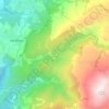
Girabolhos

Portugal > Guarda > Seia

Average elevation: 393 m

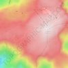
Serra da Estrela

Portugal > Guarda > Seia

Average elevation: 1,825 m

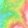
Sandomil

Portugal > Guarda > Seia

Average elevation: 501 m

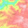
Sazes da Beira

Portugal > Guarda > Seia

Average elevation: 766 m

Senhora do Desterro

Portugal > Guarda > Seia

Average elevation: 830 m

Vila Cova-à-Coelheira

Portugal > Guarda > Seia

Average elevation: 530 m

Paranhos da Beira

Portugal > Guarda > Seia

Average elevation: 379 m

Gear up for your next adventure:

📕Outdoor Navigation Books - Learn traditional and modern navigation techniques
🧭Emergency Beacons - Safety beacons for remote outdoor locations
📸Action Camera Chest Mounts - Record your ascent following topographic paths hands-free
🥾Trekking Poles - Poles to improve stability on uneven terrain
🎒Hiking Daypacks (20L) - Compact backpacks for day trips and technical mountain ascents

As an Amazon Associate, this site earns from qualifying purchases at no extra cost to you.