
Chirundu topographic map
Interactive map
Click on the map to display elevation.
About this map
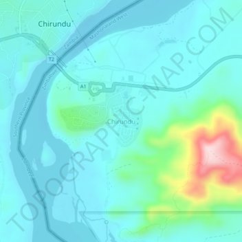
Name: Chirundu topographic map, elevation, terrain.
Location: Chirundu, Hurungwe, Mashonaland West Province, Zimbabwe (-16.06813 28.84298 -16.02813 28.88298)
Average elevation: 411 m
Minimum elevation: 364 m
Maximum elevation: 654 m
Other topographic maps
Click on a map to view its topography, its elevation and its terrain.
Chidamoyo
Zimbabwe > Mashonaland West Province > Hurungwe
Chidamoyo, Hurungwe, Mashonaland West Province, Zimbabwe
Average elevation: 910 m
Karoi
Zimbabwe > Mashonaland West Province > Hurungwe
Karoi, Hurungwe, Mashonaland West Province, Zimbabwe
Average elevation: 1,274 m