Geolocate

Topsham topographic map

Click on the map to display elevation.

About this map

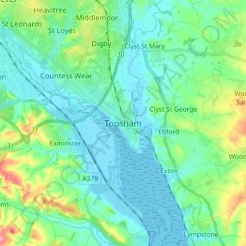
Name: Topsham topographic map, elevation, terrain.

Location: Topsham, Exeter, Devon, England, EX3 0DT, United Kingdom (50.64507 -3.50581 50.72507 -3.42581)

Average elevation: 25 m

Minimum elevation: -3 m

Maximum elevation: 117 m

Devon trails, hiking, mountain biking, running and outdoor activities

Other topographic maps

Click on a map to view its topography, its elevation and its terrain.

Gear up for your next adventure:

🧺Ultralight Dry Bags - Organize and waterproof your gear inside your rucksack
👟Heavy Duty Boot Laces - Always carry a spare for your hiking footwear
📐Altimeters & Barometers - Tools for measuring altitude and air pressure
🔋Rechargeable Batteries - Eco-friendly power for headlamps and older GPS units
🧺Microfibre Travel Towels - Fast-drying and compact towels for wild swimming and camping

As an Amazon Associate, this site earns from qualifying purchases at no extra cost to you.