
Batu Putu topographic map
Interactive map
Click on the map to display elevation.
About this map
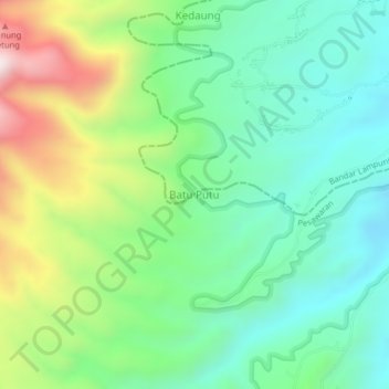
Name: Batu Putu topographic map, elevation, terrain.
Location: Batu Putu, Pesawaran, Lampung, Sumatra, Indonesia (-5.47074 105.16621 -5.43074 105.20621)
Average elevation: 418 m
Minimum elevation: 163 m
Maximum elevation: 964 m
Other topographic maps
Click on a map to view its topography, its elevation and its terrain.