
Encekler topographic map
Interactive map
Click on the map to display elevation.
About this map
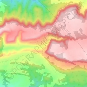
Name: Encekler topographic map, elevation, terrain.
Location: Encekler, Kula, Manisa, Aegean Region, Turkey (38.69235 28.59959 38.73235 28.63959)
Average elevation: 642 m
Minimum elevation: 457 m
Maximum elevation: 761 m