
Loas topographic map
Interactive map
Click on the map to display elevation.
About this map
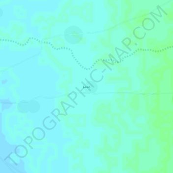
Name: Loas topographic map, elevation, terrain.
Location: Loas, Batha, Chad (12.81760 17.92853 12.85760 17.96853)
Average elevation: 310 m
Minimum elevation: 307 m
Maximum elevation: 313 m
Other topographic maps
Click on a map to view its topography, its elevation and its terrain.