
Haraz topographic map
Interactive map
Click on the map to display elevation.
About this map
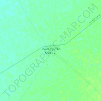
Name: Haraz topographic map, elevation, terrain.
Location: Haraz, Batha, Chad (13.90952 19.39631 13.98952 19.47631)
Average elevation: 369 m
Minimum elevation: 364 m
Maximum elevation: 375 m
Other topographic maps
Click on a map to view its topography, its elevation and its terrain.