
Nimba topographic map
Interactive map
Click on the map to display elevation.
About this map
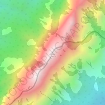
Name: Nimba topographic map, elevation, terrain.
Location: Nimba, Tonkpi, Montagnes, Côte d'Ivoire (7.62254 -8.40811 7.62264 -8.40801)
Average elevation: 1,294 m
Minimum elevation: 846 m
Maximum elevation: 1,743 m
Other topographic maps
Click on a map to view its topography, its elevation and its terrain.
Man
Côte d'Ivoire > Montagnes > Man
Man, Tonkpi, Montagnes, 420, Côte d'Ivoire
Average elevation: 451 m
Biankouma
Biankouma, Tonkpi, Montagnes, Côte d'Ivoire
Average elevation: 584 m