Geolocate

Tripp topographic map

Click on the map to display elevation.

About this map

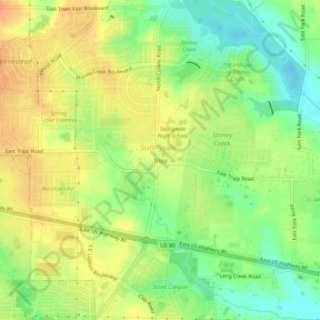
Name: Tripp topographic map, elevation, terrain.

Location: Tripp, Sunnyvale, Dallas County, Texas, 75182, United States (32.77485 -96.58055 32.81485 -96.54055)

Average elevation: 143 m

Minimum elevation: 121 m

Maximum elevation: 162 m

Other topographic maps

Click on a map to view its topography, its elevation and its terrain.

Sunnyvale

United States > Texas > Dallas County > Sunnyvale

Average elevation: 142 m

Gear up for your next adventure:

🛌Sleeping Bags - Warm and packable sleeping bags for outdoor nights
🐕Hiking Dog Harnesses - Rugged harnesses for taking your companion on mountain trails
🧣Neck Gaiters - Versatile protection against wind and cold
🔦LED Camping Lanterns - Illumination for reading maps inside your tent at night
🥼Base Layers - Thermal base layers for temperature regulation

As an Amazon Associate, this site earns from qualifying purchases at no extra cost to you.