
Budalangi topographic map
Interactive map
Click on the map to display elevation.
About this map
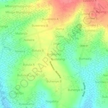
Name: Budalangi topographic map, elevation, terrain.
Location: Budalangi, Busia, Eastern Region, Uganda (0.29261 33.96249 0.33261 34.00249)
Average elevation: 1,178 m
Minimum elevation: 1,145 m
Maximum elevation: 1,221 m
Other topographic maps
Click on a map to view its topography, its elevation and its terrain.