
Bugengi topographic map
Interactive map
Click on the map to display elevation.
About this map
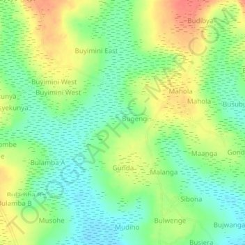
Name: Bugengi topographic map, elevation, terrain.
Location: Bugengi, Busia, Eastern Region, Uganda (0.34365 34.04497 0.38365 34.08497)
Average elevation: 1,173 m
Minimum elevation: 1,149 m
Maximum elevation: 1,205 m
Other topographic maps
Click on a map to view its topography, its elevation and its terrain.