
西山镇 topographic map
Interactive map
Click on the map to display elevation.
About this map
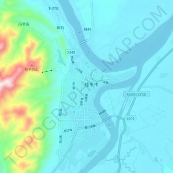
Name: 西山镇 topographic map, elevation, terrain.
Location: 西山镇, 桂平市, 贵港市, 广西壮族自治区, 中国 (23.35039 110.03163 23.43039 110.11163)
Average elevation: 129 m
Minimum elevation: 23 m
Maximum elevation: 764 m
Other topographic maps
Click on a map to view its topography, its elevation and its terrain.