
Ellington topographic map
Interactive map
Click on the map to display elevation.
About this map
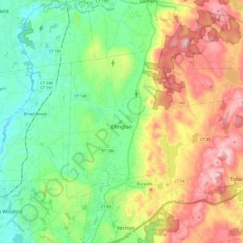
Name: Ellington topographic map, elevation, terrain.
Location: Ellington, Tolland County, Connecticut, 06029, United States (41.85692 -72.51833 41.95717 -72.30628)
Average elevation: 124 m
Minimum elevation: 7 m
Maximum elevation: 315 m
Other topographic maps
Click on a map to view its topography, its elevation and its terrain.
Bolton
United States > Connecticut > Tolland County > Bolton
Bolton, Tolland County, Connecticut, United States
Average elevation: 183 m
Storrs
United States > Connecticut > Tolland County > Mansfield > Storrs
Storrs, Mansfield, Tolland County, Connecticut, United States
Average elevation: 165 m