
Tousmouline topographic map
Interactive map
Click on the map to display elevation.
About this map
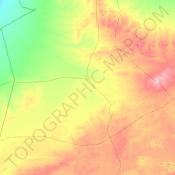
Name: Tousmouline topographic map, elevation, terrain.
Location: Tousmouline, Bougtob District, El Bayadh, Algeria (33.49250 0.06737 33.76223 0.55228)
Average elevation: 1,211 m
Minimum elevation: 1,079 m
Maximum elevation: 1,404 m
Other topographic maps
Click on a map to view its topography, its elevation and its terrain.