
Hachimantai topographic map
Interactive map
Click on the map to display elevation.
About this map
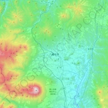
Name: Hachimantai topographic map, elevation, terrain.
Location: Hachimantai, Iwate Prefecture, Japan (39.79647 140.91095 40.11647 141.23095)
Average elevation: 566 m
Minimum elevation: 172 m
Maximum elevation: 2,006 m