
Grouville topographic map
Interactive map
Click on the map to display elevation.
About this map
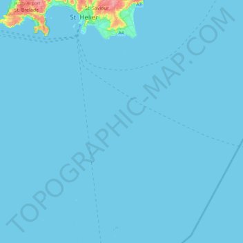
Name: Grouville topographic map, elevation, terrain.
Location: Grouville, Jersey (48.97028 -2.17504 49.20274 -2.00763)
Average elevation: 2 m
Minimum elevation: -2 m
Maximum elevation: 91 m
Other topographic maps
Click on a map to view its topography, its elevation and its terrain.
Jersey
Jersey is an island measuring 118.2 square kilometres (45.6 sq mi) (or 66,436 vergées), including reclaimed land and intertidal zone. It lies in the English Channel, about 12 nautical miles (22 km; 14 mi) from the Cotentin Peninsula in Normandy, France, and about 87 nautical miles (161 km; 100 mi) south of…
Average elevation: 25 m
St. Helier
The topography of the parish is one of the most varied. The marshland on which the town is situated is encircled by highlands which protect the town from the worst winds. In the southeast of the parish, rising from the plains in the centre of town is Mont de Ville and Mount Bingham which divide the Havre des…
Average elevation: 37 m
St. Helier
Jersey > St. Helier > St. Helier
The topography of the parish is one of the most varied. The marshland on which the town is situated is encircled by highlands which protect the town from the worst winds. In the southeast of the parish, rising from the plains in the centre of town, there is also Mont de Ville. This divides the Havre des Pas…
Average elevation: 32 m