
Sundarbans topographic map
Click on the map to display elevation.
About this map
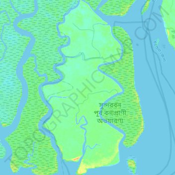
Name: Sundarbans topographic map, elevation, terrain.
Location: Sundarbans, Khulna Division, Bangladesh (21.83545 89.71510 22.08831 89.84490)
Average elevation: 4 m
Minimum elevation: -4 m
Maximum elevation: 23 m
Other topographic maps
Click on a map to view its topography, its elevation and its terrain.