
Kyegegwa topographic map
Interactive map
Click on the map to display elevation.
About this map
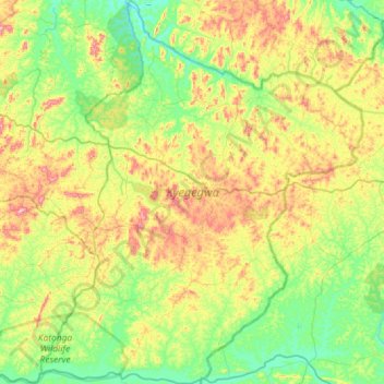
Name: Kyegegwa topographic map, elevation, terrain.
Location: Kyegegwa, Western Region, Uganda (0.19273 30.76896 0.77151 31.25753)
Average elevation: 1,285 m
Minimum elevation: 1,151 m
Maximum elevation: 1,572 m
Other topographic maps
Click on a map to view its topography, its elevation and its terrain.