
Bentiu topographic map
Interactive map
Click on the map to display elevation.
About this map
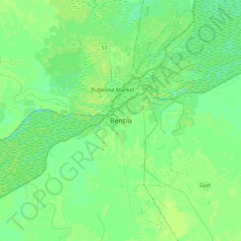
Name: Bentiu topographic map, elevation, terrain.
Location: Bentiu, Rubkona, Unity, South Sudan (9.08809 29.64040 9.40809 29.96040)
Average elevation: 392 m
Minimum elevation: 387 m
Maximum elevation: 399 m
Other topographic maps
Click on a map to view its topography, its elevation and its terrain.