
Moulton Falls topographic map
Interactive map
Click on the map to display elevation.
About this map
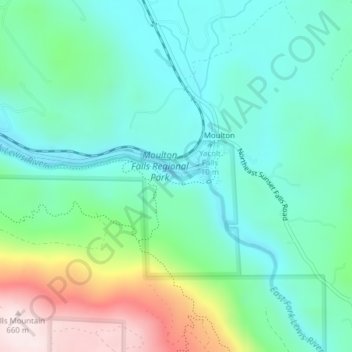
Name: Moulton Falls topographic map, elevation, terrain.
Location: Moulton Falls, Clark County, Washington, United States (45.83135 -122.38960 45.83145 -122.38950)
Average elevation: 296 m
Minimum elevation: 156 m
Maximum elevation: 674 m
Other topographic maps
Click on a map to view its topography, its elevation and its terrain.