
Washougal topographic map
Interactive map
Click on the map to display elevation.
About this map
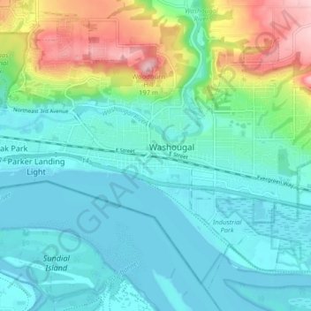
Name: Washougal topographic map, elevation, terrain.
Location: Washougal, Clark County, Washington, United States (45.55590 -122.38609 45.60488 -122.30616)
Average elevation: 47 m
Minimum elevation: 0 m
Maximum elevation: 200 m
Other topographic maps
Click on a map to view its topography, its elevation and its terrain.