
Yıldırım topographic map
Interactive map
Click on the map to display elevation.
About this map
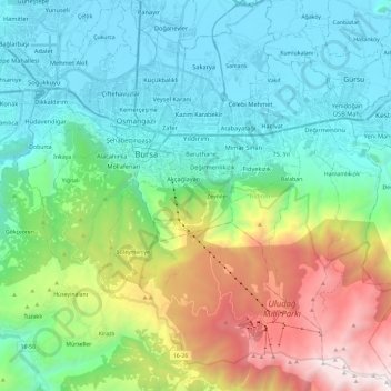
Name: Yıldırım topographic map, elevation, terrain.
Location: Yıldırım, Bursa, Marmara Region, Turkey (40.07296 29.06124 40.25404 29.22504)
Average elevation: 734 m
Minimum elevation: 84 m
Maximum elevation: 2,525 m