
Quibaxe topographic map
Interactive map
Click on the map to display elevation.
About this map
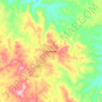
Name: Quibaxe topographic map, elevation, terrain.
Location: Quibaxe, Bengo Province, Angola (-8.53721 14.55096 -8.45721 14.63096)
Average elevation: 778 m
Minimum elevation: 601 m
Maximum elevation: 983 m
Other topographic maps
Click on a map to view its topography, its elevation and its terrain.