
Bula Atumba topographic map
Interactive map
Click on the map to display elevation.
About this map
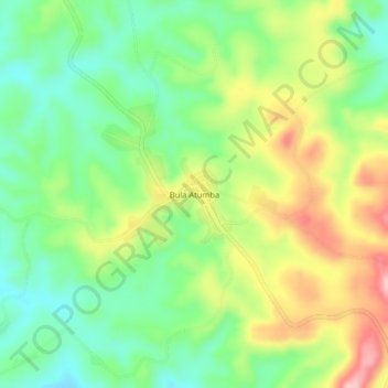
Name: Bula Atumba topographic map, elevation, terrain.
Location: Bula Atumba, Bengo Province, Angola (-8.69510 14.77554 -8.65510 14.81554)
Average elevation: 885 m
Minimum elevation: 814 m
Maximum elevation: 991 m
Other topographic maps
Click on a map to view its topography, its elevation and its terrain.