
Cean topographic map
Interactive map
Click on the map to display elevation.
About this map
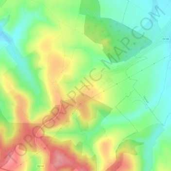
Name: Cean topographic map, elevation, terrain.
Location: Cean, Săuca, Satu Mare, 447282, Roménia (47.42453 22.50060 47.46453 22.54060)
Average elevation: 186 m
Minimum elevation: 142 m
Maximum elevation: 241 m
Other topographic maps
Click on a map to view its topography, its elevation and its terrain.