
Waterfalls topographic map
Interactive map
Click on the map to display elevation.
About this map
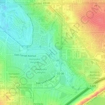
Name: Waterfalls topographic map, elevation, terrain.
Location: Waterfalls, Denver, Denver County, Colorado, USA (39.66203 -104.86945 39.66231 -104.86900)
Average elevation: 1,685 m
Minimum elevation: 1,658 m
Maximum elevation: 1,721 m
Other topographic maps
Click on a map to view its topography, its elevation and its terrain.
Bluff Lake Nature Center
Bluff Lake Nature Center, Sand Creek Trail, Denver, Denver County, Colorado, 80010-1425, USA
Average elevation: 1,621 m
Congress Park
Congress Park, Denver, Denver County, Colorado, 80206, USA
Average elevation: 1,628 m