
Bluff Lake Nature Center topographic map
Interactive map
Click on the map to display elevation.
About this map
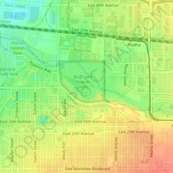
Name: Bluff Lake Nature Center topographic map, elevation, terrain.
Average elevation: 1,621 m
Minimum elevation: 1,595 m
Maximum elevation: 1,641 m
Other topographic maps
Click on a map to view its topography, its elevation and its terrain.
Congress Park
Congress Park, Denver, Denver County, Colorado, 80206, USA
Average elevation: 1,628 m
Waterfalls
Waterfalls, Denver, Denver County, Colorado, USA
Average elevation: 1,685 m