
Ililan Goro topographic map
Interactive map
Click on the map to display elevation.
About this map
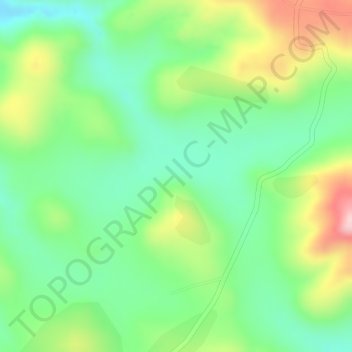
Name: Ililan Goro topographic map, elevation, terrain.
Location: Ililan Goro, Dendi, West Shewa, Oromia, Éthiopie (9.10667 38.22333 9.12667 38.24333)
Average elevation: 2,795 m
Minimum elevation: 2,708 m
Maximum elevation: 2,928 m
Other topographic maps
Click on a map to view its topography, its elevation and its terrain.