
Mama topographic map
Interactive map
Click on the map to display elevation.
About this map
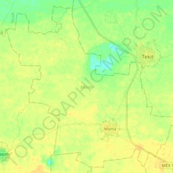
Name: Mama topographic map, elevation, terrain.
Location: Mama, Yucatán, Mexico (20.44647 -89.45314 20.57438 -89.30709)
Average elevation: 20 m
Minimum elevation: 6 m
Maximum elevation: 29 m
Other topographic maps
Click on a map to view its topography, its elevation and its terrain.
Chichen Itzá
Mexico > Yucatán > Tinum > San Felipe Nuevo
Chichen Itzá, botanical garden, San Felipe Nuevo, Tinum, Yucatán, 97751, Mexico
Average elevation: 27 m