
Băiculești topographic map
Interactive map
Click on the map to display elevation.
About this map
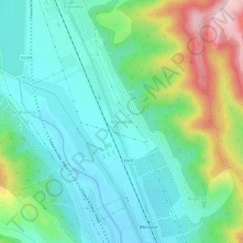
Name: Băiculești topographic map, elevation, terrain.
Location: Băiculești, Argeș, 117065, Romania (45.05176 24.66811 45.09176 24.70811)
Average elevation: 435 m
Minimum elevation: 355 m
Maximum elevation: 640 m
Other topographic maps
Click on a map to view its topography, its elevation and its terrain.