
Băiculești topographic map
Interactive map
Click on the map to display elevation.
About this map
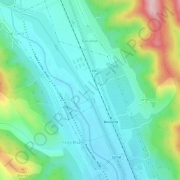
Name: Băiculești topographic map, elevation, terrain.
Location: Băiculești, Argeș, Romania (45.04194 24.67734 45.08038 24.70695)
Average elevation: 414 m
Minimum elevation: 350 m
Maximum elevation: 606 m