
Baldy topographic map
Interactive map
Click on the map to display elevation.
About this map
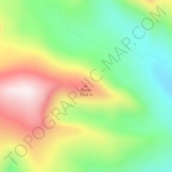
Name: Baldy topographic map, elevation, terrain.
Location: Baldy, Powell County, Montana, United States (46.31821 -112.99037 46.31831 -112.99027)
Average elevation: 2,473 m
Minimum elevation: 2,173 m
Maximum elevation: 2,885 m
Other topographic maps
Click on a map to view its topography, its elevation and its terrain.