
Mount Powell topographic map
Interactive map
Click on the map to display elevation.
About this map
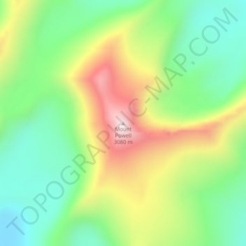
Name: Mount Powell topographic map, elevation, terrain.
Location: Mount Powell, Powell County, Montana, United States (46.35016 -112.97982 46.35026 -112.97972)
Average elevation: 2,677 m
Minimum elevation: 2,410 m
Maximum elevation: 3,094 m
Other topographic maps
Click on a map to view its topography, its elevation and its terrain.
Lois Lake
United States > Montana > Powell County
Lois Lake, Powell County, Montana, United States
Average elevation: 1,671 m
Baldy
United States > Montana > Powell County
Baldy, Powell County, Montana, United States
Average elevation: 2,473 m