
Lac Kisale topographic map
Interactive map
Click on the map to display elevation.
About this map
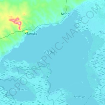
Name: Lac Kisale topographic map, elevation, terrain.
Location: Lac Kisale, Haut-Lomami, RD Congo (-8.35135 26.34467 -8.14889 26.59368)
Average elevation: 581 m
Minimum elevation: 560 m
Maximum elevation: 950 m
Other topographic maps
Click on a map to view its topography, its elevation and its terrain.
Lac Mulenda
RD Congo > Haut-Lomami > Bukama
Lac Mulenda, Bukama, Haut-Lomami, RD Congo
Average elevation: 569 m