
Lac Lunda topographic map
Interactive map
Click on the map to display elevation.
About this map
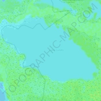
Name: Lac Lunda topographic map, elevation, terrain.
Location: Lac Lunda, Haut-Lomami, RD Congo (-8.36702 26.34244 -8.30588 26.43703)
Average elevation: 564 m
Minimum elevation: 561 m
Maximum elevation: 570 m
Other topographic maps
Click on a map to view its topography, its elevation and its terrain.
Lac Mulenda
RD Congo > Haut-Lomami > Bukama
Lac Mulenda, Bukama, Haut-Lomami, RD Congo
Average elevation: 569 m