
Golte topographic map
Interactive map
Click on the map to display elevation.
About this map
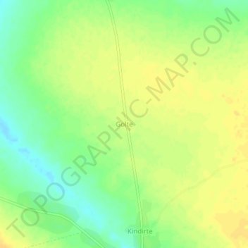
Name: Golte topographic map, elevation, terrain.
Location: Golte, Mandoul, Chad (9.21510 17.39503 9.25510 17.43503)
Average elevation: 372 m
Minimum elevation: 357 m
Maximum elevation: 382 m
Other topographic maps
Click on a map to view its topography, its elevation and its terrain.