
Kousseri topographic map
Interactive map
Click on the map to display elevation.
About this map
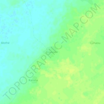
Name: Kousseri topographic map, elevation, terrain.
Location: Kousseri, Mandoul, Chad (9.50530 17.50537 9.54530 17.54537)
Average elevation: 359 m
Minimum elevation: 351 m
Maximum elevation: 365 m
Other topographic maps
Click on a map to view its topography, its elevation and its terrain.