Geolocate

Timau topographic map

Click on the map to display elevation.

About this map

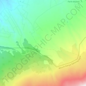
Name: Timau topographic map, elevation, terrain.

Location: Timau, Meru, Kenya (-0.00304 37.28920 0.06879 37.34611)

Average elevation: 2,800 m

Minimum elevation: 2,425 m

Maximum elevation: 3,545 m

Gear up for your next adventure:

🧊Insulated Flasks - Keeps drinks hot or cold during hikes
🧣Neck Gaiters - Protects against wind and sun on exposed ridges and peaks
🎒Hiking Daypacks (20L) - Compact backpacks for day trips and technical mountain ascents
🦯Walking Poles - Supportive poles for long-distance walking
👟Waterproof Leg Gaiters - Keep mud and water out of your boots in boggy terrain

As an Amazon Associate, this site earns from qualifying purchases at no extra cost to you.