
Amagoro 'a' Central C topographic map
Interactive map
Click on the map to display elevation.
About this map
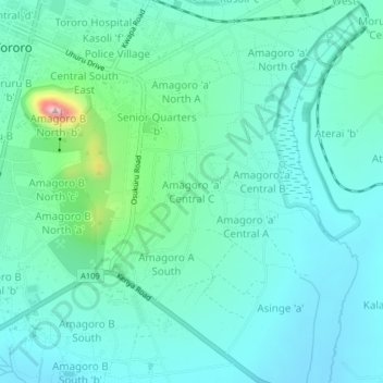
Name: Amagoro 'a' Central C topographic map, elevation, terrain.
Location: Amagoro 'a' Central C, Tororo, Eastern Region, Uganda (0.65672 34.17775 0.69672 34.21775)
Average elevation: 1,196 m
Minimum elevation: 1,138 m
Maximum elevation: 1,459 m
Other topographic maps
Click on a map to view its topography, its elevation and its terrain.
Merikit Centre
Merikit Centre, Tororo, Eastern Region, Uganda
Average elevation: 1,119 m