
Fornelos topographic map
Interactive map
Click on the map to display elevation.
About this map
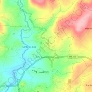
Name: Fornelos topographic map, elevation, terrain.
Location: Fornelos, Fafe, Braga, Portugal (41.45872 -8.18637 41.47539 -8.16210)
Average elevation: 315 m
Minimum elevation: 244 m
Maximum elevation: 406 m
Other topographic maps
Click on a map to view its topography, its elevation and its terrain.