
川上公園 topographic map
Interactive map
Click on the map to display elevation.
About this map
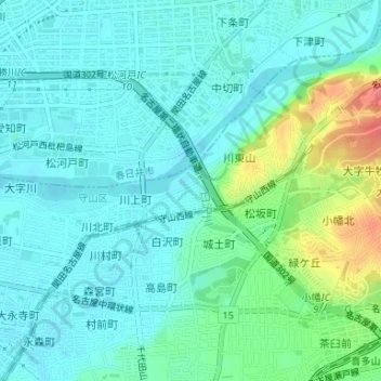
Name: 川上公園 topographic map, elevation, terrain.
Location: 川上公園, 白沢町, 守山区, 名古屋市, 爱知县, 日本 (35.21636 136.97306 35.21674 136.97363)
Average elevation: 28 m
Minimum elevation: 11 m
Maximum elevation: 86 m
Other topographic maps
Click on a map to view its topography, its elevation and its terrain.