
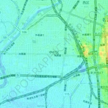
中村区 topographic map
Interactive map
Click on the map to display elevation.
About this map
Name: 中村区 topographic map, elevation, terrain.
Location: 中村区, 名古屋市, 爱知县, 日本 (35.14493 136.82897 35.19166 136.89308)
Average elevation: 5 m
Minimum elevation: -5 m
Maximum elevation: 29 m
Other topographic maps
Click on a map to view its topography, its elevation and its terrain.