
Kampung Kenang topographic map
Interactive map
Click on the map to display elevation.
About this map
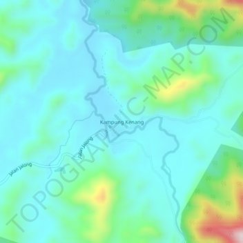
Name: Kampung Kenang topographic map, elevation, terrain.
Location: Kampung Kenang, Kuala Kangsar, Perak, Malaysia (4.83266 101.16783 4.87266 101.20783)
Average elevation: 169 m
Minimum elevation: 93 m
Maximum elevation: 491 m
Other topographic maps
Click on a map to view its topography, its elevation and its terrain.
Kampung Baru Simpang Pulai
Malaysia > Perak > Kg. Baru Simpang Pulai > Kampung Baru Simpang Pulai
Average elevation: 54 m