
Lyons topographic map
Interactive map
Click on the map to display elevation.
About this map
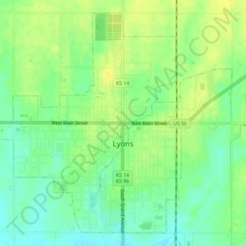
Name: Lyons topographic map, elevation, terrain.
Location: Lyons, Rice County, Kansas, United States (38.33316 -98.22488 38.36228 -98.18336)
Average elevation: 517 m
Minimum elevation: 505 m
Maximum elevation: 529 m
Other topographic maps
Click on a map to view its topography, its elevation and its terrain.