
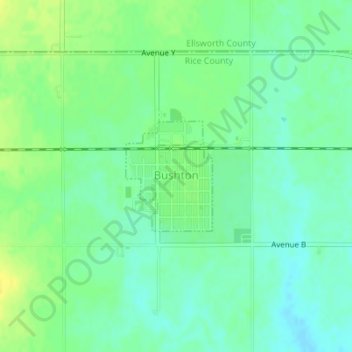
Bushton topographic map
Interactive map
Click on the map to display elevation.
About this map
Name: Bushton topographic map, elevation, terrain.
Location: Bushton, Rice County, Kansas, United States (38.50822 -98.40028 38.51665 -98.39178)
Average elevation: 541 m
Minimum elevation: 531 m
Maximum elevation: 553 m
Other topographic maps
Click on a map to view its topography, its elevation and its terrain.